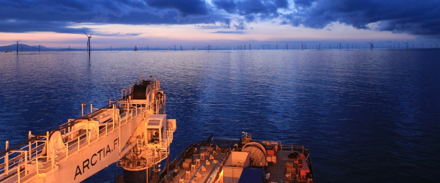
Competence. Track record. Trust. Built in harsh arctic conditions.
Thank you for visiting us
It was a pleasure meeting you and discover how our proven marine survey expertise can help you plan and deliver offshore wind projects with confidence.
Our key figures
Hydrographic & geophysical surveys annually, km2
Survey days annually
Survey line-km annually
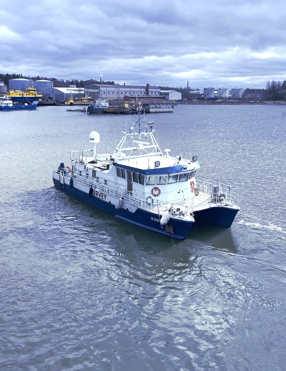

Expertise across the maritime lifecycle
Reliable decisions start with reliable data. Arctia combines one of Northern Europe’s leading marine survey capabilities, advanced technology and expert interpretation to give offshore wind developers the insight they need from early planning to operation.
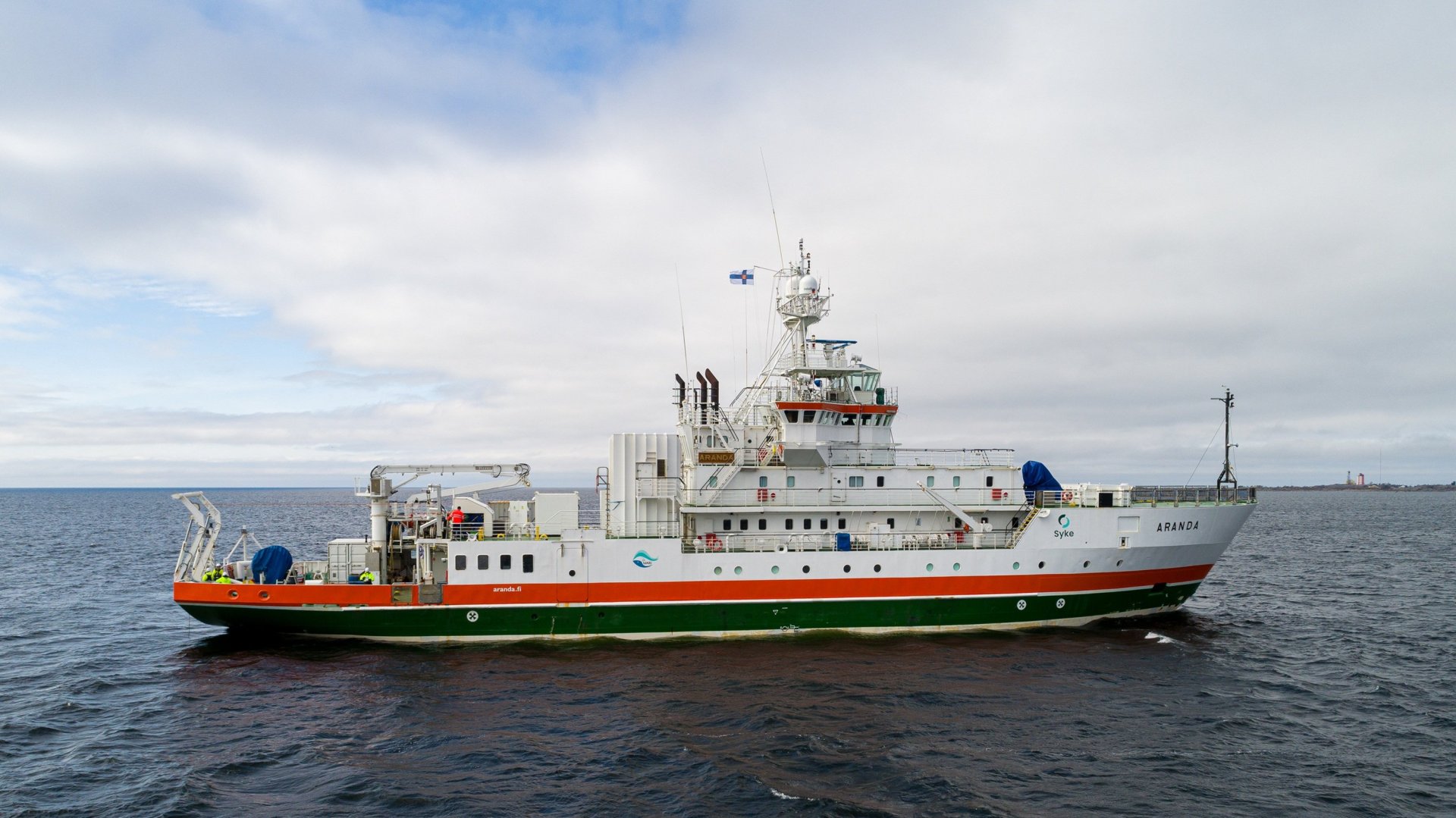
From Seabed to Surface
Northern Europe’s largest marine survey fleet, advanced technology, and expert interpretation deliver reliable insights even in the most demanding conditions.
Marine Survey Services brings certainty to the underwater world – enabling offshore and wind energy projects to make decisions based on solid, reliable data.
Complete seabed insight. One experienced partner.
From continuous geophysical mapping and shallow-water surveys to targeted inspections and geotechnical verification. Arctia brings the capabilities together to build a reliable picture of seabed conditions – reducing uncertainty throughout your offshore project.
Geophysical MappingContinuous seabed
|
Shoreline & TargetedShallow water and
|
Ground InvestigationSampling and
|
| MBES: Bathymetry of the proposed route SBP: Bathymetry of the proposed route SSS: Seabed features and targets Magnetometer: Existing and out-of-service cables and pipelines |
DRONE: Photogrammetry and aerial imaging LIDAR: Bathymetric modelling in shallow water or on land ROV: Targeted visual inspection when UXO surveyis required Gradiometer: Target detection when UXO survey is required |
Geotechnical sampling: Ground truthing of sonar and SBP data Vibrocorer: BAS sampling locations based on geophysical results CPT: Geotechnical properties at BAS locations |
Trusted where precision matters most
Decades of experience in demanding northern waters have made Arctia a trusted partner for critical maritime operations. We combine government-trusted expertise, efficient deployment and rigorous quality assurance to deliver data you can confidently build decisions on.
Government-trusted operations
Efficient delivery, lower emissions
Precision you can trust
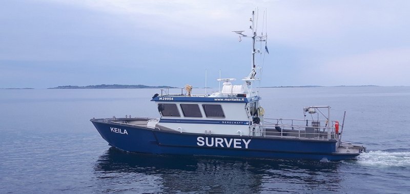
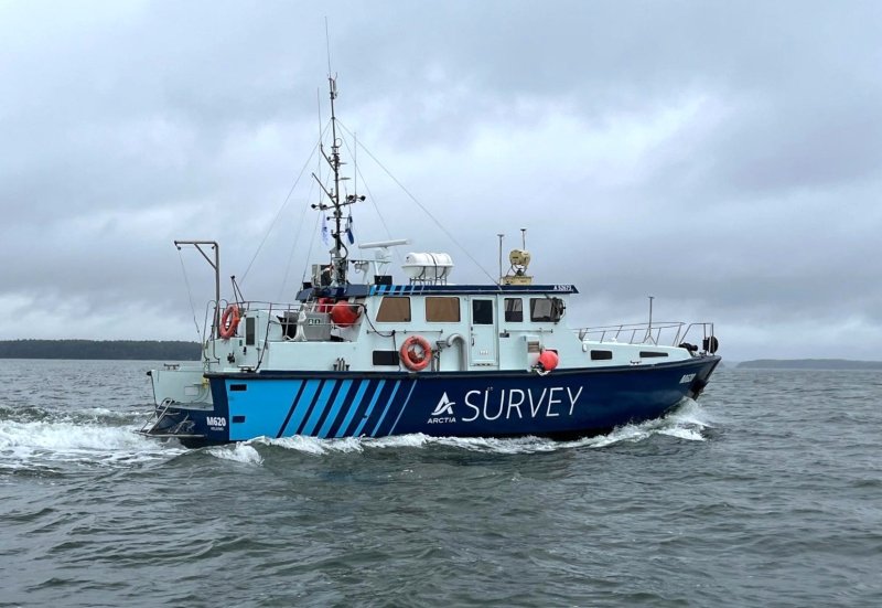
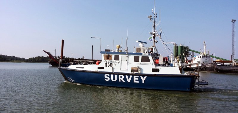
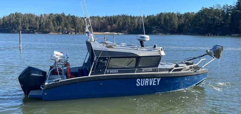
Hydrographic and survey vessels
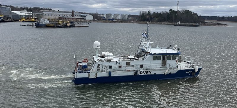
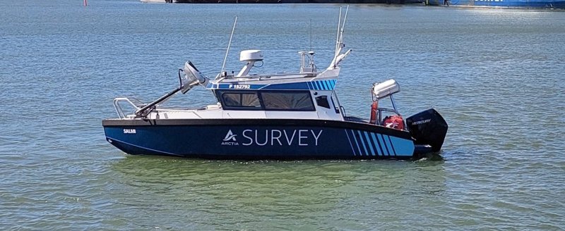
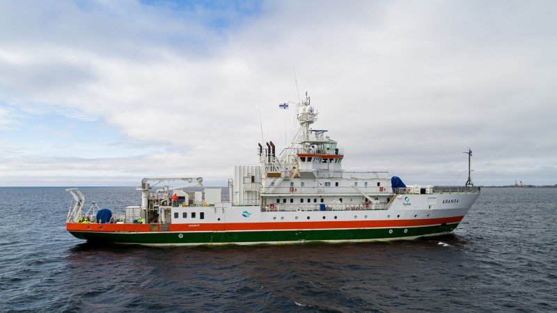
Planning an offshore wind project or looking for a trusted survey partner? Tell us about your project and our marine survey experts will help you identify the right approach.
Lauri Pöyhönen
SVP, Marine Survey Services
+358 50 558 7952
lauri.poyhonen(at)arctia.fi
Caius Grann
Sales Director
+358 40 526 7716
caius.grann(at)arctia.fi