Marine structures
ContactDetailed data on your infrastructure
The Arctia survey creates a fully integrated model of underwater and above water infrastructures. The integrated 3D model is precise in details.
Arctia offers a wide range of hydrographic and coastal infrastructure engineering services. Survey results are 3D point clouds, which Meritaito experts build into an extremely accurate, fully integrated model of underwater and above the water infrastructures. Experts analyze the data and point out any changes in the structures. Typical issues found include quay wall damages, scouring that has led to slope deformation as well as foreign objects and other changes on sea bed.
![[]](https://www.arctia.fi/media/img/cache/rakennetutkimukset_satamalaituri-1980x9999,q=85.jpg)
3D point clouds and Infra-models
High resolution multibeam echo sounder gives excellent point cloud data from sea bottom to find out objects with different size and shape. Arctia uses multibeam echosounders and laser scanner together to get full point cloud data from waterfront structures. Underwater data fulfills information useful for city planning in waterfront areas. When extreme preciseness is needed, the survey results can be further enhanced with a scanning sonar survey, which is the most accurate underwater survey method available.
Survey results are 3D point clouds, which Arctia experts build into an extremely accurate, fully integrated model of underwater and above the water infrastructures. Experts analyze the data and point out any changes in the structures. Typical issues found include quay wall damages, scouring that has led to slope deformation as well as foreign objects and other changes on sea bed. Based on the 3D model analyses Arctia experts can point out the critical underwater areas needing immediate closer examination. Furthermore, Arctia can build a infra-model and long-term maintenance plan that helps customers to maintain their infrastructure in systematic and effective way.
Certified experience and state-of-art technology
Services are based on leading experience in demanding seabed charting surveys. Our staff consists of internationally certified hydrographic surveyors and experts. Services are carried out with the latest survey technologies, including multi-beam, side scan sonar, sub bottom profiler, ROV, laser scanning and scanning sonar equipment.
Tailor-made services and data management
The survey methodologies and technologies applied are always tailored to the specific needs of the customer. Survey data is provided in a format requested by the customer with the required post processing and analyses. This ensures that you receive the underwater and bottom information that exactly meet your requirements. We provides also data management services.
Leading expertise for assignments worldwide
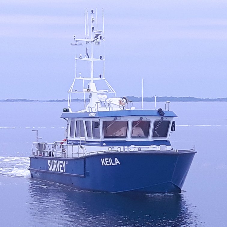
We have over 20 years of experience from modern digital hydrographic surveying. Underwater infrastructure surveys have been carried out e.g. for most of the major commercial ports in Finland as well as large number of bridges, channels and other underwater structures in Europe. Arctia Mobile Survey Platform enables surveys in all over Europe and worldwide.